Town / VT09-C-XX-RR-SR-001
Properties:
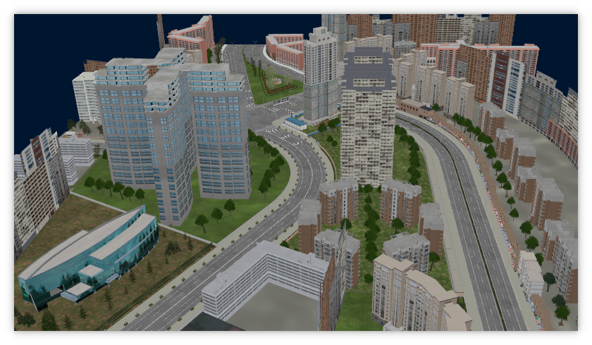
Town with 5 incoming roads which are connected via two large X-Crossings close behind and a large free space between. The East edge is an incoming Ring-Road, the other 4 incoming roads are Secondary-Roads. This map was created based on a location in Shanghai.
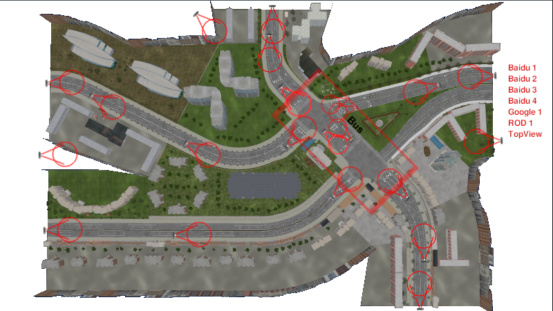
Here are links to it in Baidu and Google-Maps:
Baidu Shanghai:
https://map.baidu.com/@13370849.939999819,3673313.319226885,13z,87t,35.76h/maptype%3DB_EARTH_MAP#panoid=09000300122101061542139675Opanotype=streetheading=100.26pitch=-5.27l=13tn=B_NORMAL_MAPsc=0newmap=1shareurl=1pid=09000300122101061542139675O
GoogleMaps Shanghai:
https://www.google.de/maps/@31.2621297,121.4737306,228m/data=!3m1!1e3?entry=ttug_ep=EgoyMDI1MDEwMi4wIKXMDSoASAFQAw%3D%3D
GEO Coordinates taken from GoogleMaps:
31.262160677067275, 121.4737681577845
Street and route signs for this location are created and available in our ModelLibrary used in ROD.
![]()
- Dimensions: 750 m x 500 m
- Drive lanes: X: 2, 2+3, Y: 2
- Country: China
- Character: Chinese city
- Group: VT09-SecondaryRoad
- RoadCourse: curved, flat
- Crossings:
- X-Crossing between incoming Ring-Road and Secondary-Roads
- X-Crossing between outgoing Ring-Road and Secondary-Roads
- Parking Bays:
- None
- Specials:
- Two large X-Crossings close behind and a large free space between
- Splitting Ring-Road
- Very long distance zebra-crossings
Crossings
StreetViewCrossingEtoW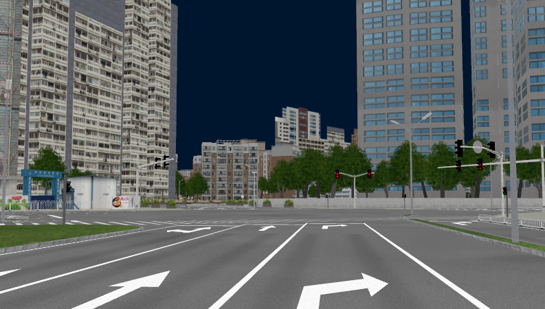 StreetViewCrossingEtoWright
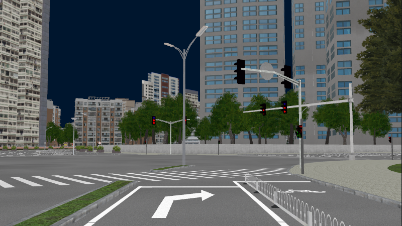 StreetViewCrossingNtoS
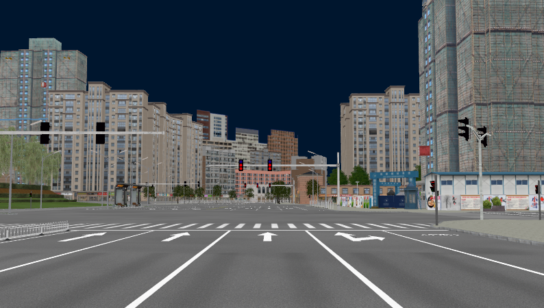 StreetViewCrossingNWtoE
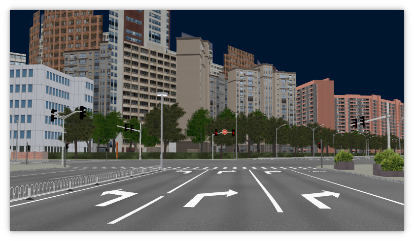 StreetViewCrossingStoN
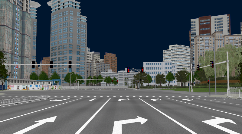 StreetViewCrossingSWtoE
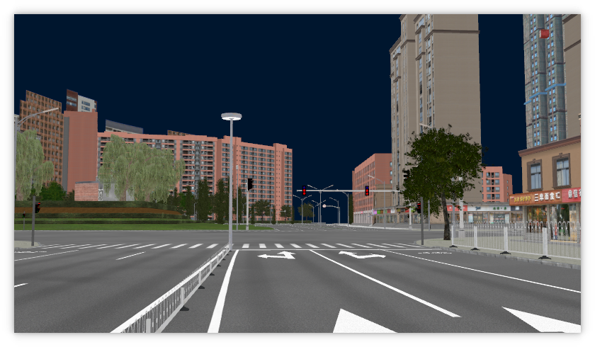
Parking Bays
Specials
BaiduCentertoSE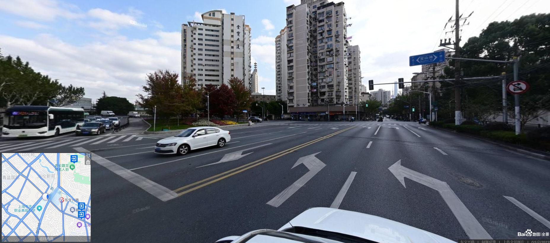 BaiduNtoS
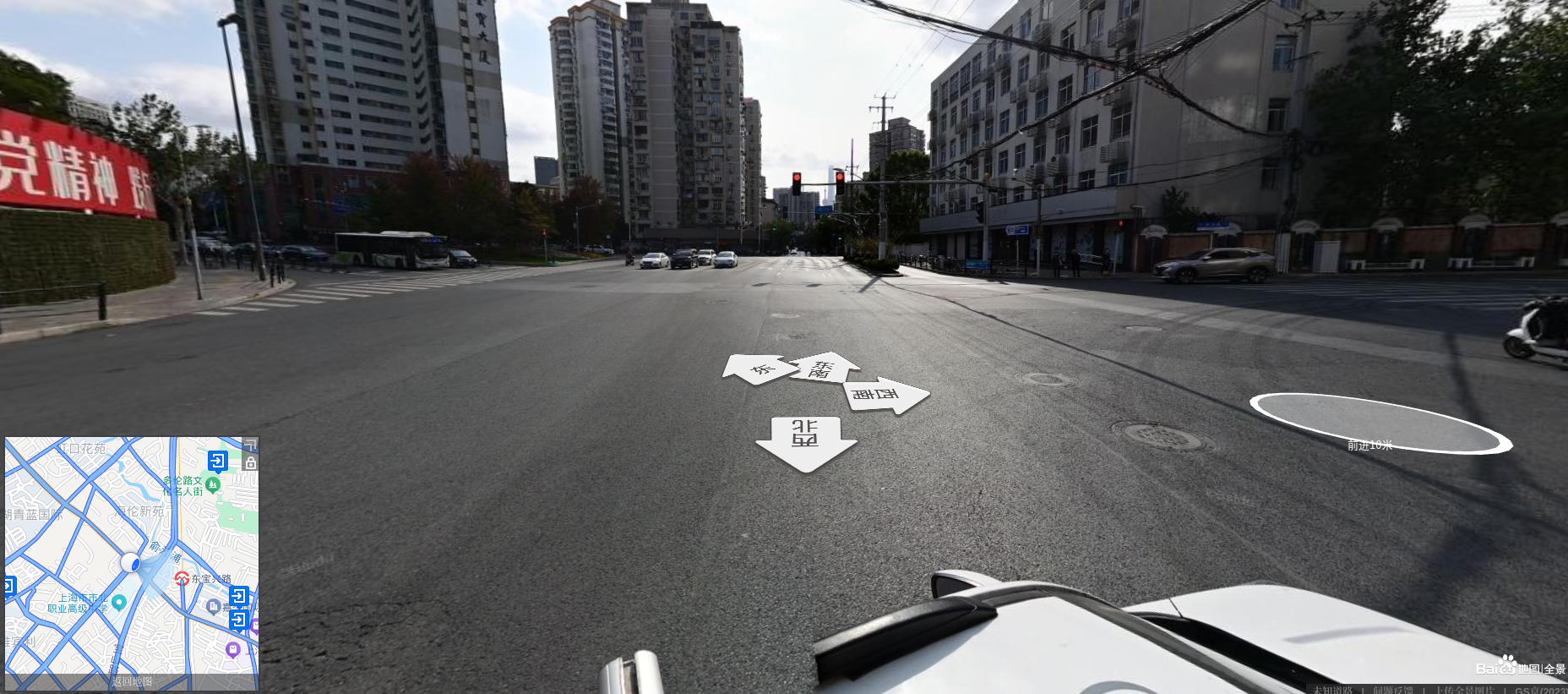 BaiduNWtoE
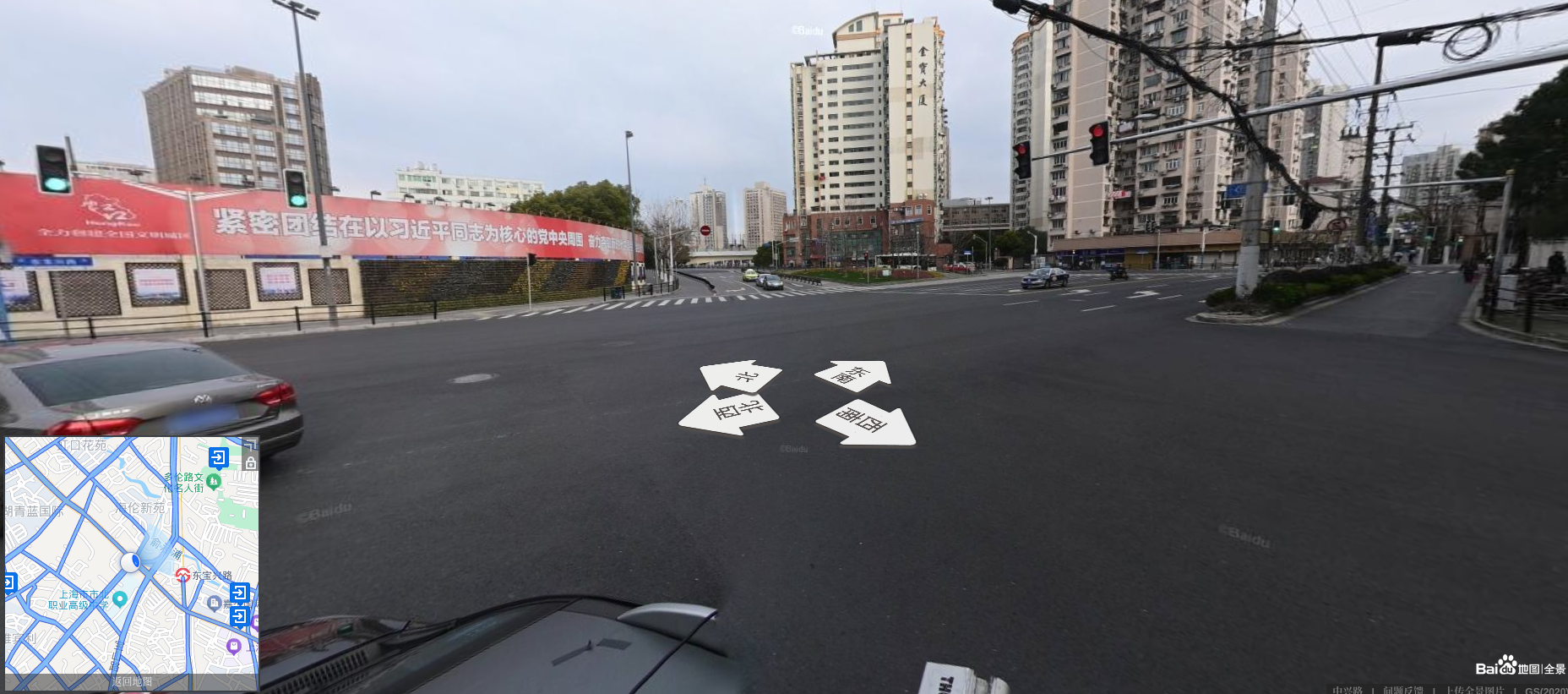 BaiduStoN
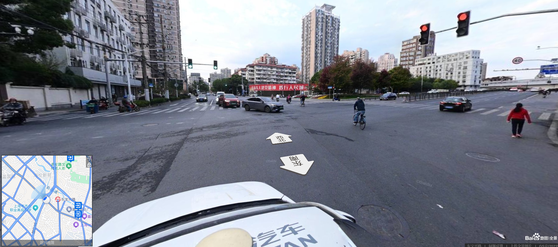 BusStop
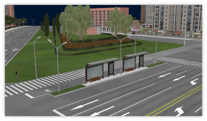 EdgeEast
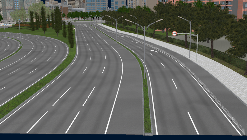 EdgeNorth
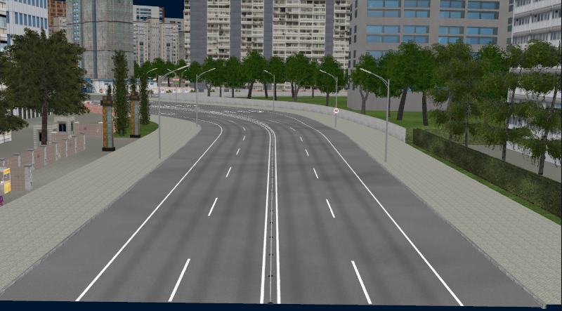 EdgeNorthWest
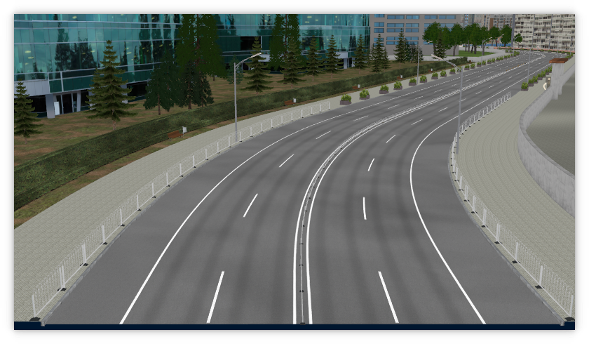 EdgeSouth
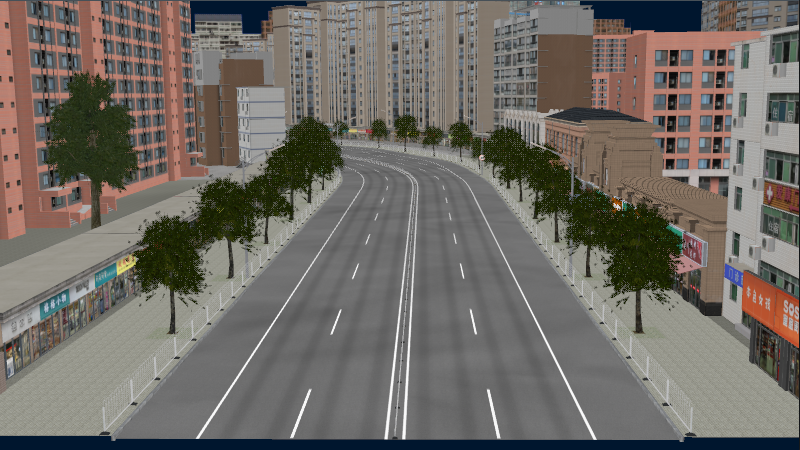 EdgeSouthWest
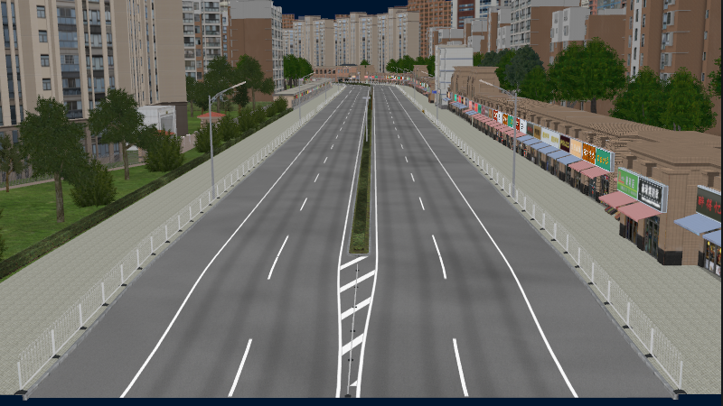 GoogleMaps
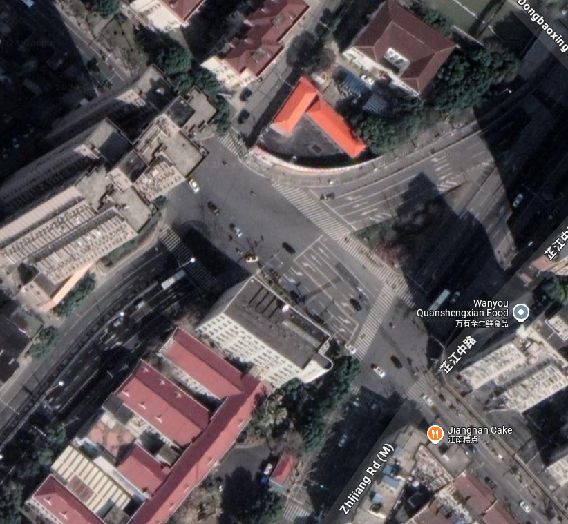 ROD
ROD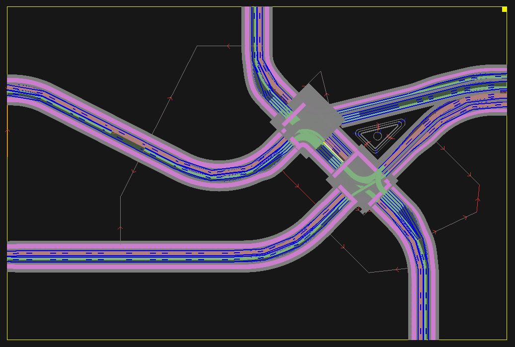 StreetViewCenterNtoS
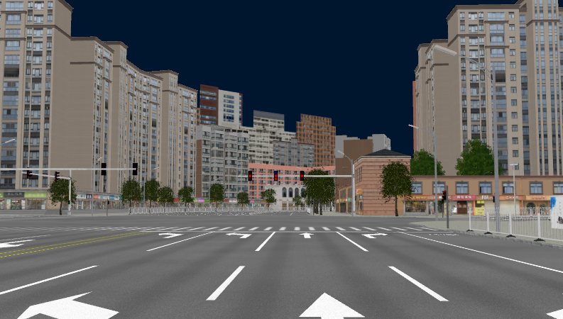 StreetViewCenterStoN
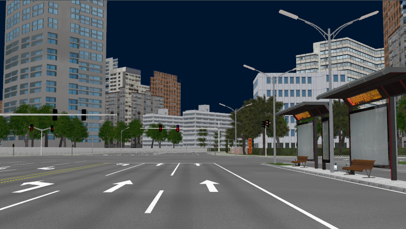 StreetViewEtoW
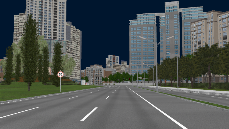 StreetViewNtoS
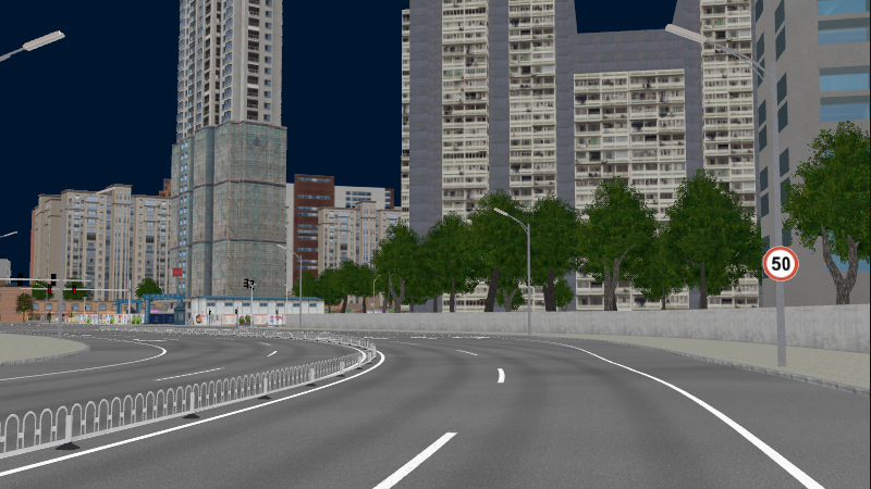 StreetViewNWtoE2
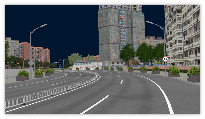 StreetViewNWtoE
 StreetViewStoN
 StreetViewSWtoE
 TopCenter
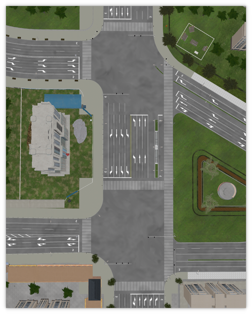 Top
Top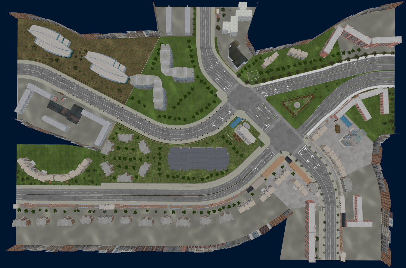 TopViewToWest
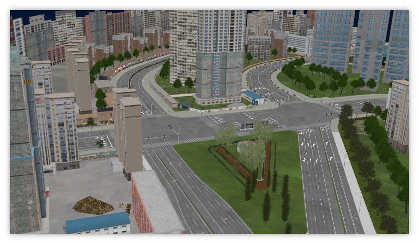 TopViewToSouth
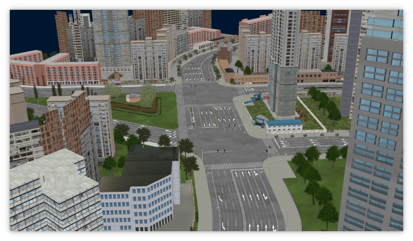 TopViewToEast